Cartography
Unlock the full value of your geographic data
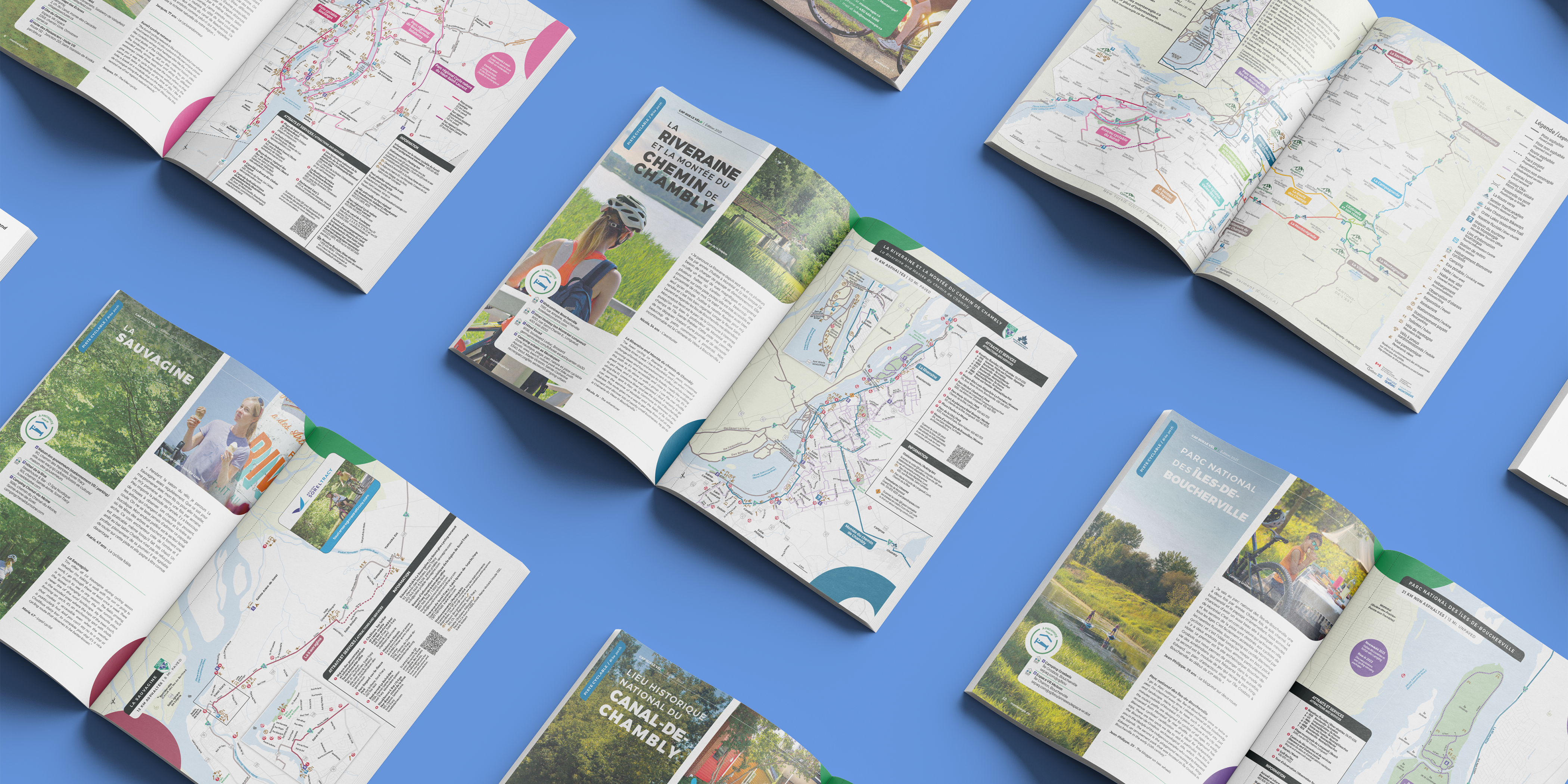
Our unique expertise combines the precision of geomatics, the rigour of cartography, and the power of graphic design. We transform your complex territorial data into maps that are both aesthetically pleasing and remarkably clear and accessible.
Our approach focuses on three essential areas of expertise:
- Geomatics: We collect, process, and analyze information to ensure its accuracy.
- Cartography: We create precise and functional representations of your territory.
- Graphic Design: This crucial step enhances the map’s intuitiveness, emphasizes important information, and captures your audience's attention.
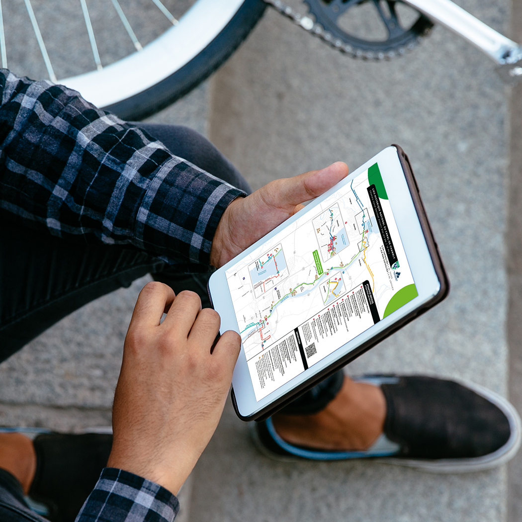
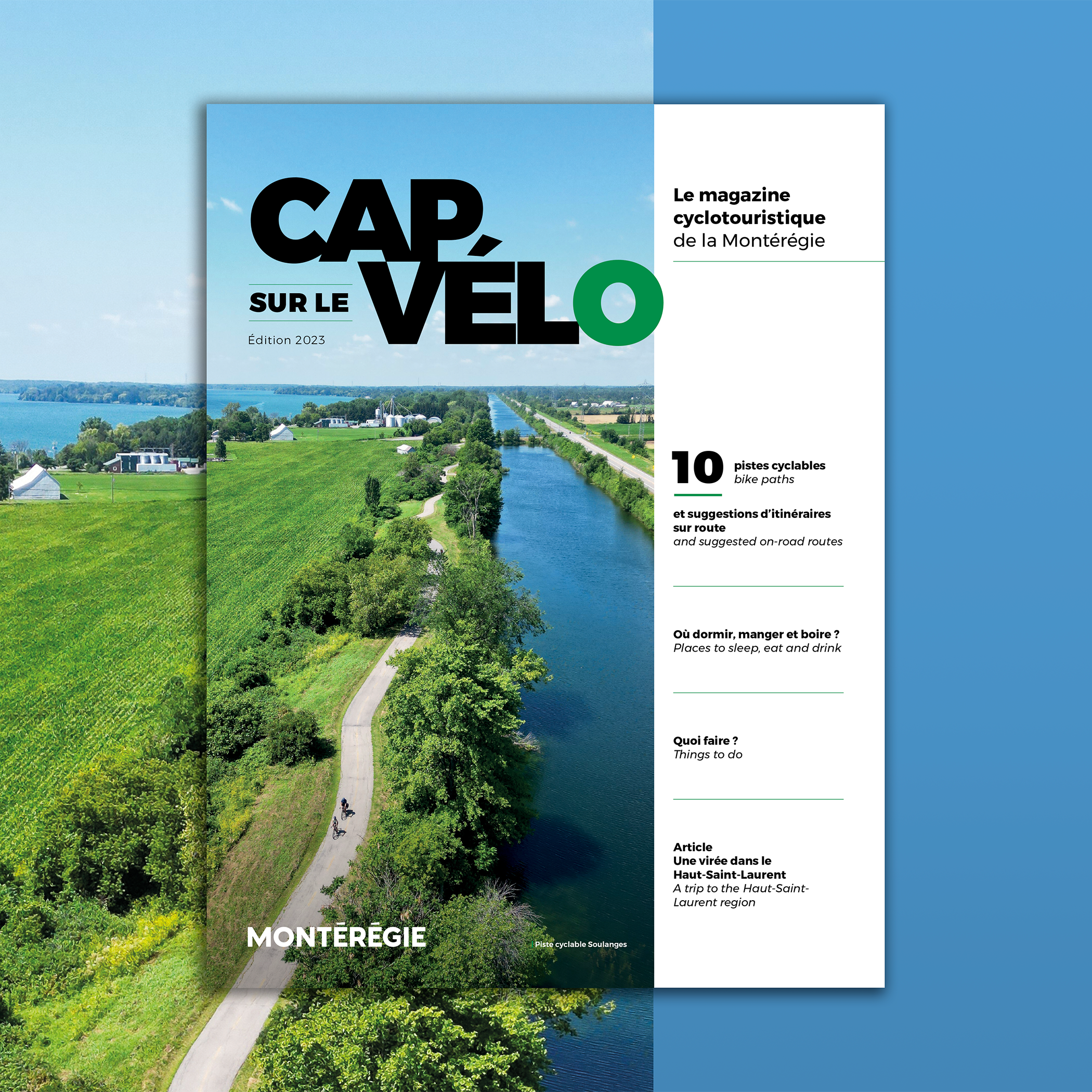
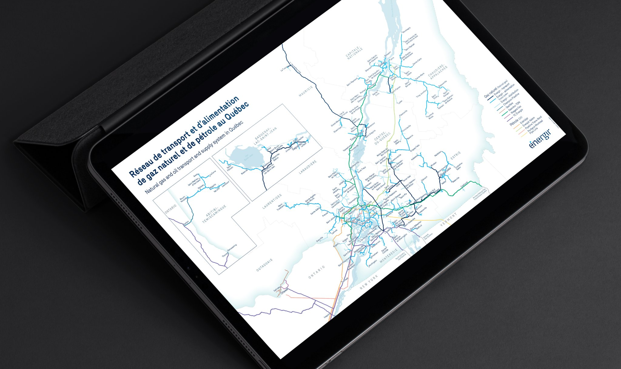
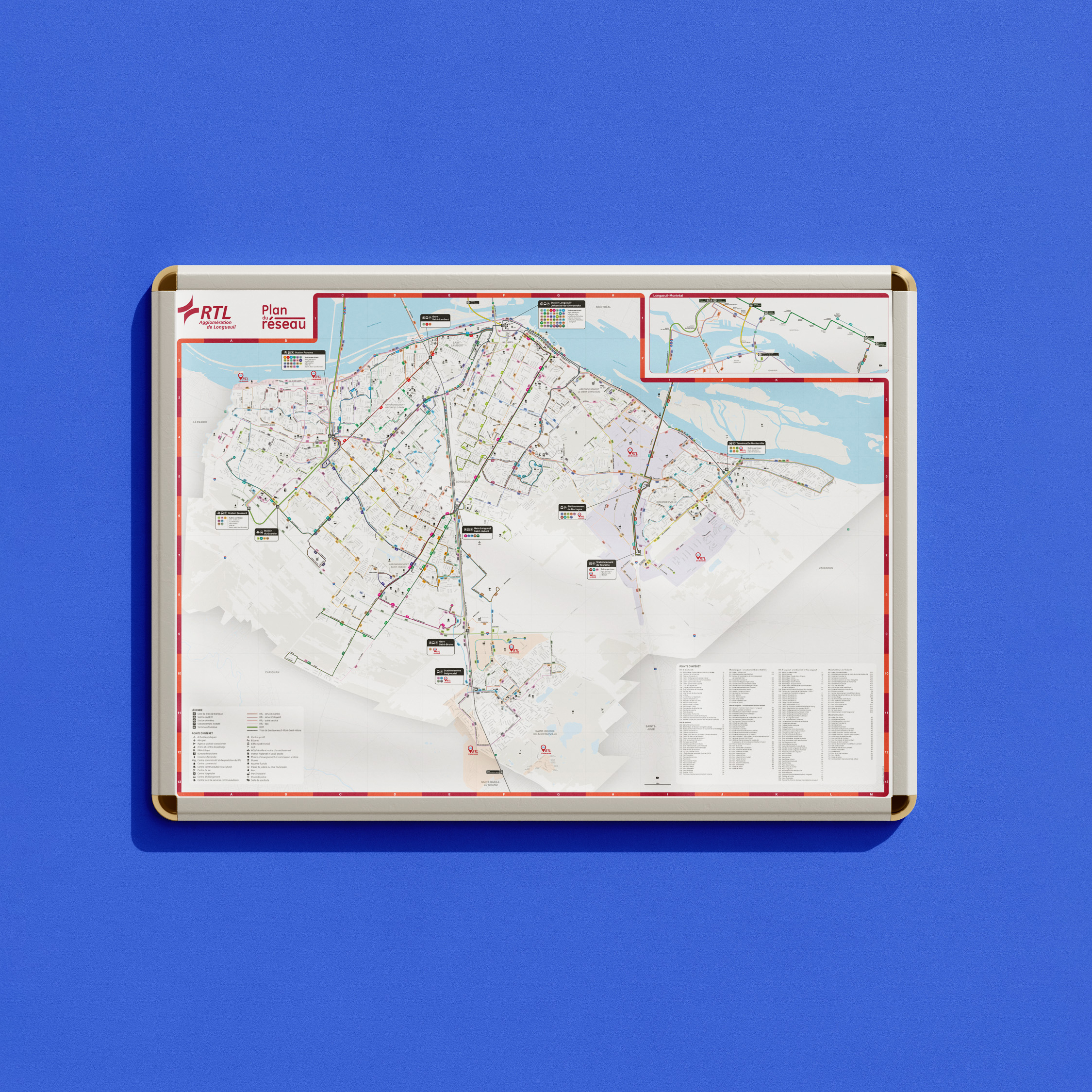
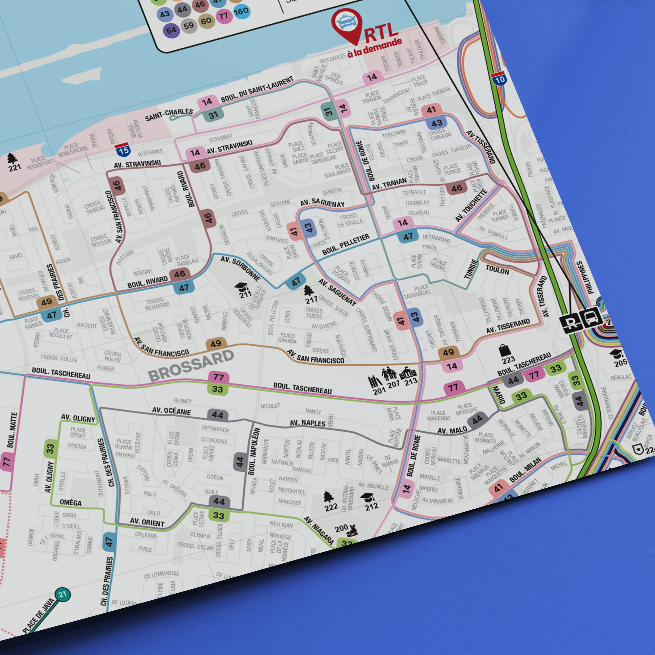
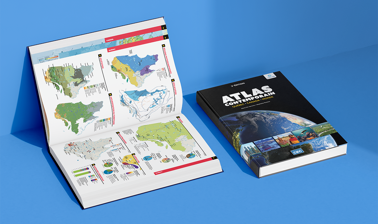
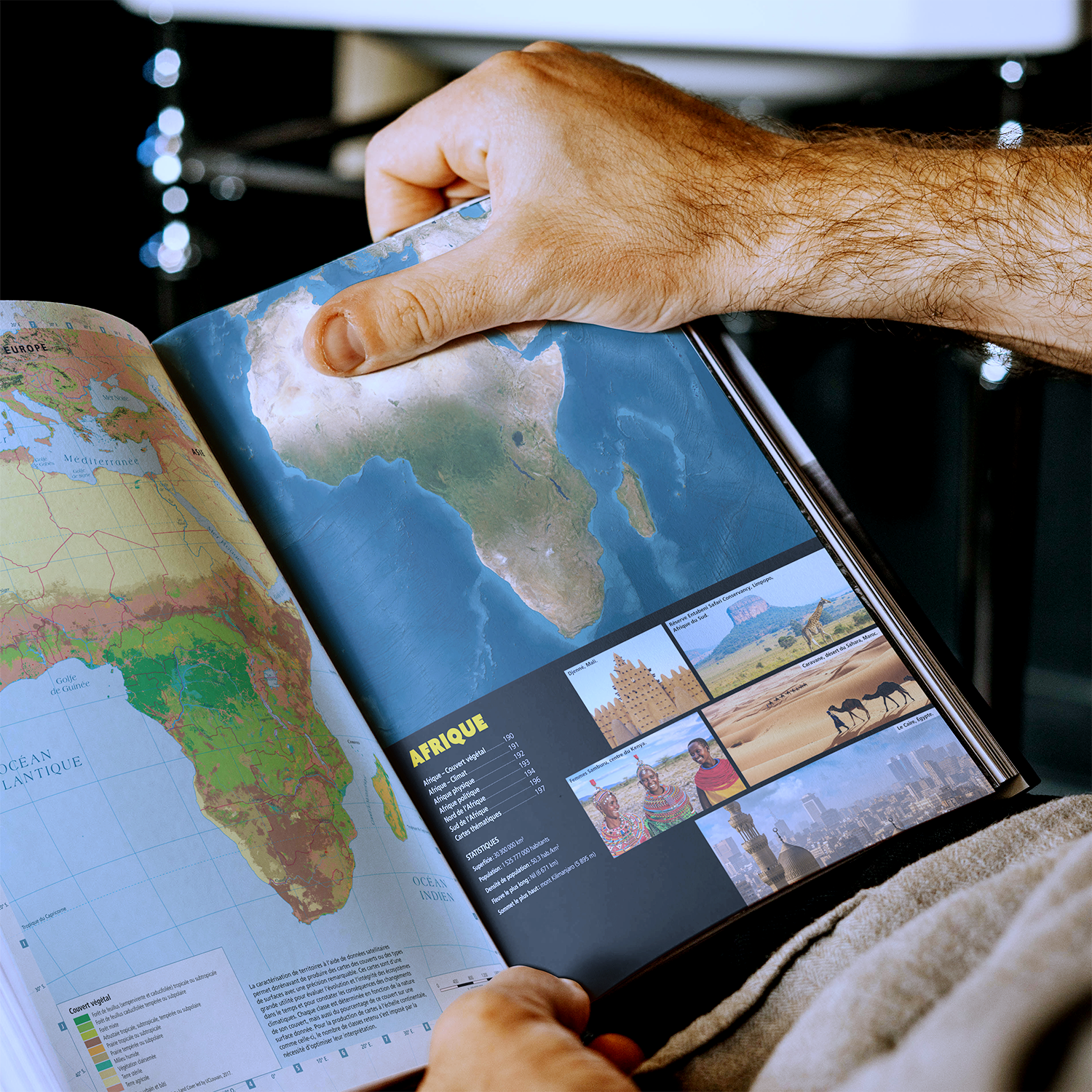
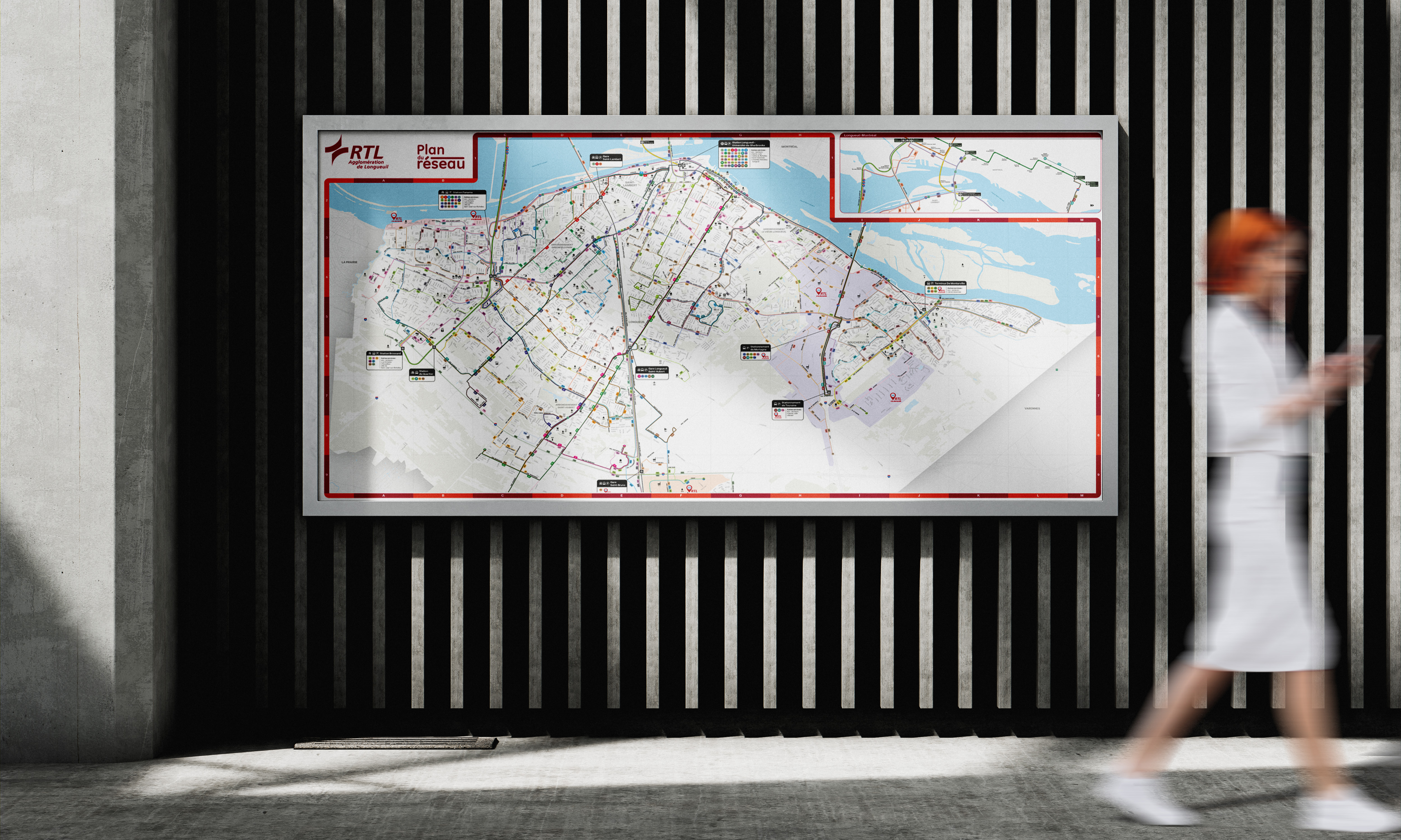
Whether you need to visualize a transportation network, detail gas or hydroelectric infrastructure, design maps for textbooks, or create appealing tourist guides, our goal is to transform your maps into powerful tools for communication and decision-making.